Wednesday, March 13, 2013


Underway Again #20: Spanish Wells

On Monday, the winds died down a little and Bill picked us up in his dinghy and took us over to Kalunamoo for supper.  We looked at the charts and decided to try for Spanish Wells the next day.  We would leave before dawn and try to make Current Cut at slack tide.  Current Cut is a difficult cut as the water pours out of the cut at 4-6 knots and with the tide running against a strong breeze, a nasty chop is raised at the entrance.  If you enter is with the tide, your boat would be tossed to and fro and it would be difficult to maintain stability.
 
We left at 4:15 in the morning and it was mostly motor sailing on quite calm waters with little wind.  Now we would have liked a little wind!  We made good time and went safely through the cut about 2:00 staying to the side as the guide books indicated and then into Spanish Wells Harbour again reading the guide books about what side to hug. 


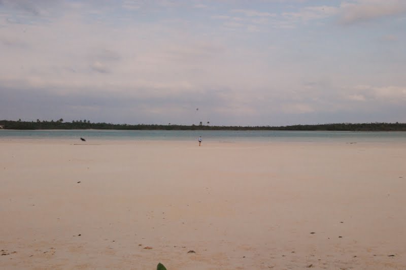
First view of harbour in Spanish Wells
There are numerous sand banks in the harbour and at high tide, when we were entering, the sand banks are not visible and we guessed that the pole sticking out near the shore and the mooring ball were the markers for the entrance. 
Spanish Wells Yacht Haven Marina
We had contacted Spanish Wells Yacht Haven Marina and reserved a spot and we were placed on a long dock behind a 42 ft. sailboat. 
Can you spot our boat?
 

The first thing that I did was take a long hot shower - what a luxury!  The first thing Roman did was to walk to the marine stores to look for glue for the dinghy but he did not have any luck so he will just have to use the rest of the glue he bought in Georgetown.  This pictures illustrates just how much of the dinghy has come apart.  Hopefully this last attempt will last us until we get back to the mainland.


The name Spanish Wells is said to have originated three centuries ago when the Spanish explorers declared the local well water the sweetest in The Bahamas.  It is a very insular community quite unique to the Bahamas in that in more than 300 years the makeup of its population has hardly changed.  Most residents used to grow up, marry and remain here.  Spanish Wells has a long association with the sea.  It is a remarkably self-sufficient; even the power system is locally owned. 
 

As a premier Bahamian fishing port more than seventy percent of the annual harvest of lobsters is caught by the Spanish Wells fishing boats.  The boats now have to travel further and further to find lobster.  There is difficulty in keeping young men in school as they can go out on the lobster boats at age 16 and earn $100,00.00 and more yearly.  That is a great incentive to leave school early.


The next day we walked around and explored.  Prosperity is reflected in the neat and tidy houses surrounded by colourful gardens, carefully tended and many with beautiful hibiscus plants, roses, cacti, and prolific trees. 

Everything is orderly; most shops close on Wednesday afternoons and all day Sunday and there is no liquor store on the island.  However one man came and handed us a card that he has a liquor store and even has a license for it.  We plan just to check it out for curiosity's sake.  Spanish Wells is located on St. Georges Cay and along the north side is a beautiful beach. 

We walked along the beach noting that most of the homes along the beach are private homes with a cement wall along the edge of their property where it meets the beach.  Some workers were painting one of the walls and they told us that the water comes up to the wall at high tide and during a storm the water goes right over these walls often right into the homes.
 
 
Every evening at sunset the boaters blow their conchs.

That night the boaters organized a pot luck on the dock.  This was a great opportunity to meet the rest of the boaters.  Most are waiting for a weather window to go north to the Abacos although some are travelling south.  These are the boats that plan to get down to Trinidad or Grenada for the hurricane season.  It was a great evening and the wind was strong enough that there were no "noseums" which just love to feast on humans.  There are many Canadians here in the Bahamas and often the Americans joke that Canada is taking over.
Waiting for the fast ferry seen coming up behind us.
Look closely to the right and you can see the waves breaking on the reef.
The next day we took a fast ferry through  the Devil's Backbone around the north coast of Eleuthra to Dunmore Town on Harbour Island.  The Devil's Backbone is a passage through the reefs reef so named as it is potentially very where there is only one way to go or else you will land up on the reefs as have many ships.  If you wanted to go through with a sailboat, a guide is the only way to go and you cannot attempt the passage with wind, waves, or swells coming ashore from the N, NE or NW.  You can't go with the sun in your yes in the morning as you must rely on visual navigation and on top of that, high tide is an extra bonus with two extra feet under your keel.  Thus the decision was made to take the fast ferry and just spend the day on Harbour Island.

First view of Dunmore Town, Harbour Island
Harbour Island, known as "Briland" to the locals, is one of the oldest established settlements in the Bahamas and was the first capital city of the Bahamas dating back to the 1700's. 

You see a multitude of golf carts as they are the main form of transportation
Dunmore Town boasts of old churches, art galleries, quaint shops, stone walls and a unique blend of colonial architecture combined with striking  Caribbean colours.  We walked up and down the hilly streets to the wide 3 mile tinted pink beach which draws a multitude of tourists.

 
Overlooking the beach

Steps down to the beach from the seat above

 
Most of the island's tourist accommodations sit on a bluff  overlooking the rosy beach.  Many restaurants and bars offer a fantastic view.  We walked along the beach and although its is advertised as a "pink" beach we did not think it was very pink although it was very beautiful.  Surprisingly, as you can see from the picture above, there were few people on the beach, perhaps because the wind was from the north. 
There are a multitude of restaurants most of which are very pricey.  We had grilled grouper for lunch and on the way to the ferry, I bought a wonderful tasty conch salad made by Martin who lives in Eleuthra and takes a small ferry to Dunmore every day to a stand on the beach right near the government dock where the fast ferry docks.   He brings with him sweet sour oranges, cucumbers, tomatoes  and green peppers all grown in Eleuthra.  Roman got a conch burger at a local stand and we ate on the ferry on the way back.  It was delicious!
Making a conch salad is harder than it looks.  First you choose your conch.


Next Martin has to take the conch out of the shell.
 
Then he has to cut only the part he will use.
 
Now he will chop up all the ingredients, add the orange and lime juice and, of course, the conch.
 
The finished product!


Some of the little shops - quite unique displays!


Saturday, March 9, 2013

Underway Again # 19:  Eleuthra

Eleuthra  is an island about 110 miles long and 2 miles wide. We are staying in Rock Sound Harbour as wait out the weather.  Right now the wind is really howling, the boat is rocking but the sun is FINALLY shining after two constant days of rain so there is hope in the air which is, by the way, very cold as the front dropped the temperature 15 - 20 degrees. We slept in socks and layers last night and Roman slept in the pilot house keeping "anchor watch" as we had dragged the night before.

Our rental in front of a really neat shop where Roman bought a shirt.
We arrived in Rock Sound a couple of days before the front moved in and here, as in Long Island , we rented a car to see the island.  This time we only had 12 hours in which to see everything so it we decided to just go north as we wanted to see the Glass Window which is the point of the rocky spine of Eleuthra that once was a natural arch undermined by the ocean which connected the Northern Eleuthra to Southern Eleuthra. 
Atlantic Ocean

Bahamas Banks
 
 
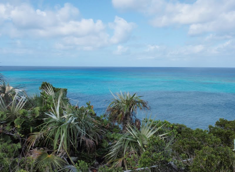
This natural arch became a real break and now there is a new bridge spanning the divide.  New bridge is a relative term and this is the newest in the series of storm-damaged bridges.  If you look closely at the pictures you can see where the last bridge moved about 7 feet when it was hit by a rogue wave on Halloween Day in 1991.  This is the skinniest part of the island(about 30 feet) and the road is only one lane over this part.  When you stand on the Glass Window you see to the east the restless deep blue of the Atlantic Ocean and to the west, the tranquil turquoise green, far shallower water of the Bahamas Banks. 
 When the Atlantic rolling waves come surging in, particularly the swells of  a storm, the force can hit the bridge and throw walls of water 100-200 feet high.  Fortunately when we were there it was moderately calm but we could appreciate the strength of the water as dark blue met turquoise. 
If you look at how the bridge is supported, you can see why we don't think that this bridge will last too long.
 
You can see several places where there are stress fractures.
This area is made of sturdy rock formations and one of the many formations we saw along the way was this giant bolder which is said to resemble a bull with a cow.  Do you see it?
One of the most spectacular things we saw was the area known as the  Queen's Bath which is a series of little indentations in the limestone rock which filled by the Atlantic waters, warmed and formed hot salt tubs. 


Here I found many unusual little shells and when I lifted one of them a little hermit crab who came out of his shell to look around and very quickly hid back inside.
If you continued and climbed down to the ocean below, you could go into a large cave at low tide. 


Maureen, it was thiiiiiis wide!

"I have to get a picture of this!"

The colours are quite spectacular!
 
 
Next we came to one of blow holes which you find throughout the Bahamas.  It took several tries to get a picture just as the blow hole shot up as this lasts just a second and two.


We passed Gregorytown where we had anchored 5 years ago.  At Hatchet Bay, we met some friends of Bill and Maureen and had lunch with them at a little stand set up which served delicious ribs, rice and macaroni and cheese.  The helpings are so generous that we shared one meal.  I love the macaroni and cheese and Roman prefers the rice. 
Here a young man shows off his catch.
The entrance is very narrow into this Governor's Harbour well protected harbour.


We tried to find the pink sand beaches marked on our map but the roads leading there were mostly dirt and rock and once after travelling on what seemed like the right roads, we came right back to Governor's Harbour where we had started from.  All part of the adventure of exploring  new places. When I downloaded this picture, the sand looks like it has a pink tinge but we didn't see we were there. Can you spot me in the picture?

Next we visited the Leon Levy Native Plant Preserve which is Eleuthra's first national park and consists of  25 acres dedicated to the conservation of native species and to the research and documentation  of Bahamian Bush medicine.  Bush medicine involves brewing the bark, roots and leaves of particular plants to make beverages to reduce anxiety, restore appetite, relieve respiratory infections, increase sexual vitality, treat asthma and skin allergies.   Along the Medicinal Plant Trail, plants are grouped according to the ailments they treat. 

The Mangrove Boardwalk takes you through an otherwise inaccessible wetland ecosystem.  This preserve is only in its second year and was very interesting as you walked marked trails through a mangrove  and the medicinal plant trail.  Each species is identified.  Many plans are in the works and this is a facility which I would want to visit again. There is a beautiful natural waterfall, which I believe is the only one in the Bahamas.
Tarpum Bay used to be a centre for the exporting of pineapples, a principal crop of Eleuthra.  It is said that the pineapple plants were taken from Eleuthra and planted in Hawaii where they flourished.  The Bahamas could not compete in the world market and this led to the decline of the industry.  A few pineapples are grown mostly for local use. 
In Tarpum Bay we saw a house that brings to mind the saying " His home is a man's castle" or is it a man's castle is his home.????
Back to Rock Sound where there is a large inland blue hole named Ocean Hole that local people claim is bottomless.  The sea water rises and lowers with the ebb and flow of the tides and is filled with tropical fish and turtles.
Off to the side of the road is a "boiling" hole which the locals believe has healing powers.  All I can say, it certainly has mosquitoes.  I must have been bit at least a dozen times!
On the southern Cape Eleuthra are countless snorkelling and diving sites but we had run out of time and headed back to return the rented car.  
The next few days were spent rolling and rocking with winds howling around us and rain pouring down upon us.  As I said at the beginning, the sun brings hope that things will calm down and that we will be able to move on tomorrow.      
 

Monday, March 4, 2013

Revised: Underway Again # 18: Calabash Bay to Conception Island

We sailed next to Calabash Bay and enjoyed the wonderful beach. We met a couple who had built a very large home just off the beach about 12 years ago and they really loved the island. They told us that when you build a property on the beach in the Bahamas, you own the property up to the highest point high tide reaches. They also pointed out where Elizabeth Taylor spent one of her honeymoons. We were going to walk up the beach and take a picture of the house but time got away from us and we totally forgot.
The sand is just so perfect that it is hard to believe.
Our boat anchored off Calabash Bay

It was fantastic to just have a beach day where we just relaxed.


Maureen and I just lay in the shade of our umbrellas while the guys went for a stroll.

Often people ask us "What do you do all day on the boat?" The simple answer is that there is always something to do.  Cleaning the salt off the boat takes a lot of time.


Or there is something that needs to be repaired or adjusted, even when you're underway. 

I am constantly amazed at the phenomenal shades of blue that are the sky and the water.
 
Sunset at Calabash Bay
Red sky at night sailor's delight, Red sky in the morning, sailor's warning!
 
Conception Island lies 14 miles northeast of Cape Santa Maria and is only 2.75 miles long and 2 miles wide at its widest point.    It sits in a surrounding shield of reefs that extend several miles around the island.  The entrance to the anchorage is through a path of many little reefs and I stood on the bow of the boat guiding Roman through them.  It felt unsettling, to say the least, to see the coral heads so close to the boat. 

Approaching Conception Island

Conception Island is an uninhabited land and sea park providing a watering place and sanctuary for migratory birds (again, no pictures due to death of camera).  It has a beautiful beach rivalling Cape Santa Maria beach and many snorkelling sites.  In fact, while I was snorkelling, I kept my camera tucked into the front of my wet suit and I think that I must of snagged the battery case latch and it came open under water.  After that it refused to work. I saw many different fish including a shark.  The feeling is that you are swimming inside a gigantic aquarium.  The colours of the coral and the different vegetation and the fish are amazing.  I have often wondered about the many variations of colour names in an artists choice of oils or watercolour paints.  Now I don't think that there are enough to do justice to the even just the fish - the brilliant hues of yellows, blues, greens, orange and those that just blend into the rocks or sand and disappear.  I saw some beautiful conch but as it is illegal to take from the park I left them there.
Drying out our gear

As we had motorsailed most of the way, I baked bread on the way and made soup in the pressure cooker for supper out of leftovers. You can get pretty creative cooking on a boat.
Moon rising at Conception Island

Sun setting at Conception Island

We had wanted to continue to Cat Island but the weather forecast was such that we want to be tucked in protected from the north and the west winds when the forecaste front with high winds came through. So we have decided to go up to Rock Sound, Eleuthra to wait out the weather.  We could not do that much distance in one day so we did the long haul ( almost 12 hours) to Little San Salvador Island. We anchored in the pitch dark wearing our headphones  to communicate.  We did not even get off the boat just fell into bed.  This is a trip where an auto pilot would be a big help.  The next day we sailed/motorsailed to Rock Sound and rejoined our friends, Bill and Maureen, from Kalunamoo who had made the trip in one jaunt of course, using their auto pilot.